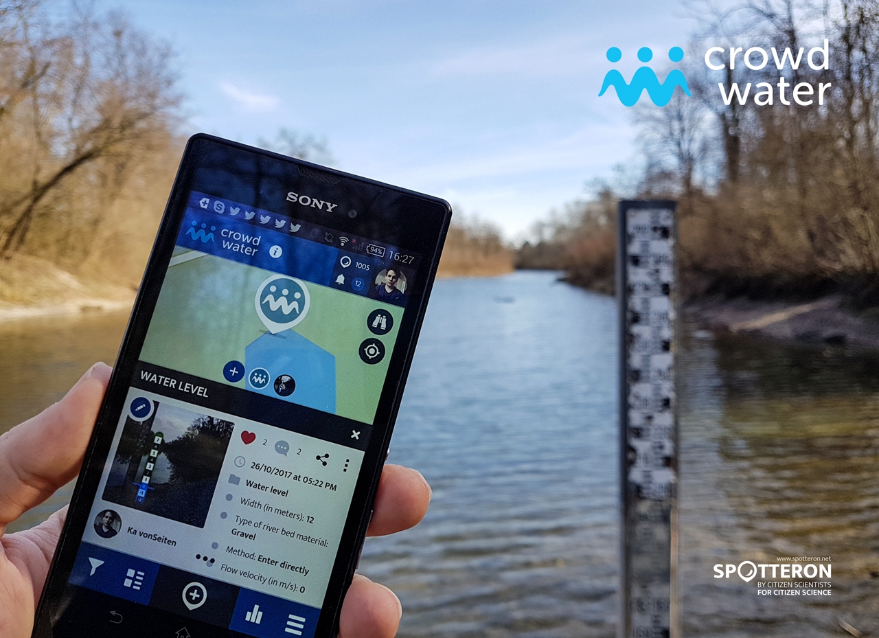
Take a photo of the observation site. Make sure that other citizen scientists can easily recognize the site by including some reference objects in the picture.
If you are using the virtual staff gauge category: Take the photo perpendicular to the direction of flow with a reference for estimating the water level (e.g., a big rock, wall, or bridge pillar) in the background. Make sure that the water surface is horizontal in the picture.
If you are using the temporary stream or soil moisture category: Add a circle or arrow to indicate the exact point of observation.
You can also choose a suitable photo from your album. In this case, please adjust date and time of observation before saving the spot.